Graduate Program
Department of Environmental and Geosciences – Graduate Program in Applied GIS
The Department of Environmental and Geosciences offers a Master of Science (MS) degree and a graduate Certificate in Applied GIS.
Geographic Information System (GIS) is an important component of what is known as the new geography or geotechnology. GIS is one of the fastest growing applied technology fields in both business and government, with projected demand for individuals trained in GIS far exceeding the supply. Demand for those with training and expertise in GIS has experienced unprecedented growth in the recent decade and GIS is recognized as “one of the top technology fields in the United States”.
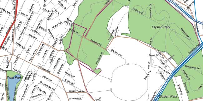
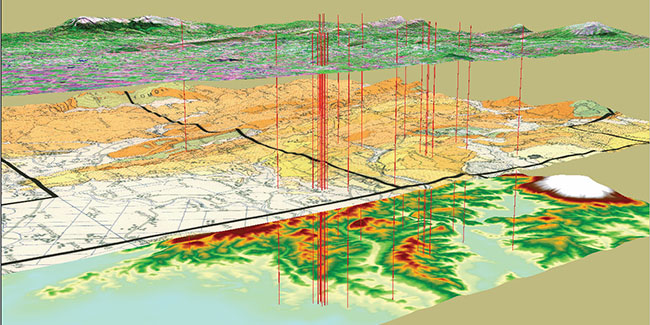
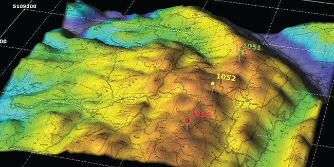
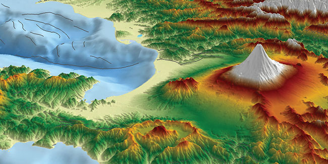
GIS is used in a wide variety of fields such as land use planning, forest management, habitat analysis, natural hazard assessment, law enforcement, oil and gas industry, public health, market analysis, facilities management, transportation planning, etc.
The graduate program in GIS will give students critical knowledge to succeed in the challenging world of geospatial technologies. This includes advanced classes and labs in GIS (ArcGIS), remote sensing (ERDAS IMAGINE), web-based mapping, model builder, Python programming, and spatial analysis. In particular, this program is designed to enhance an individual's knowledge in geographic information science and technology. Additionally, applications of the technology in the oil and gas industry, public health sector, parcel mapping, local government, law enforcement, national security, and market research are featured.
The GIS Master's degree offers two tracks: a Traditional track (thesis and non-thesis option) that offers a mix of online and face-to-face classes (offered at The Woodlands Center) and a Professional track that is offered completely online.
The traditional track (thesis and non-thesis option) is geared towards students with no prior experience/background in GIS or towards students who have completed an undergraduate degree with no work experience.
The professional track is geared towards professionals with at least 2 -3 years of work experience in utilizing GIS for their day-to-day operations and decision making and aspiring for an advanced degree in GIS. No GRE is required for applying to the professional track in lieu of work experience.
For more information contact:
Dr. John Strait
Professor of Geography
Department of Environmental and Geosciences
Sam Houston State University
Lee Drain Building, Room 300
1900 Ave I
Huntsville, TX 77341
Email: jsb008@shsu.edu
Telephone: 936-294-4077
Fax: 936-294-4203