Geospatial Applications
Through hands-on training, students learn to collect, analyze, and visualize spatial data to support decision-making and problem-solving. This certificate enhances career opportunities by equipping graduates with in-demand technical expertise valued in both government and private sectors.
- Undergraduate Certificate
- The Woodlands Center
- Online
- Huntsville
- Online
- Face to Face
18 Credit Hours
Hone Your Talents in Geospatial Applications
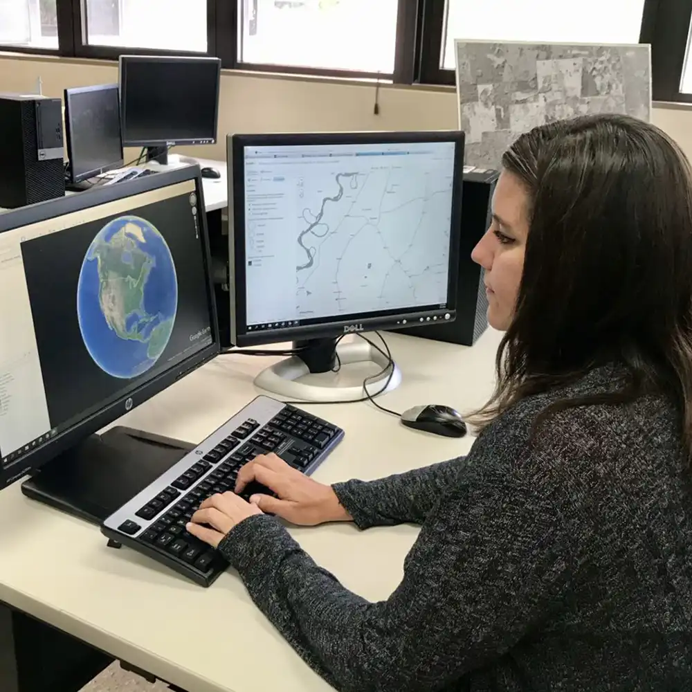
The Geospatial Applications Undergraduate Certificate provides students with practical skills in geographic information systems (GIS), remote sensing, and spatial data analysis. Designed to complement various majors, the program prepares students to apply geospatial technologies in fields such as environmental science, urban planning, agriculture, and business. Through hands-on training, students learn to collect, analyze, and visualize spatial data to support decision-making and problem-solving. This certificate enhances career opportunities by equipping graduates with in-demand technical expertise valued in both government and private sectors.
Lead in Geospatial Applications
The Geospatial Applications Certificate equips students with practical skills in GIS, remote sensing, and spatial analysis. The versatile program enhances expertise and prepares graduates for careers across many fields. In-demand technical skills, broad applications, and seamless integration with many majors make the certificate widely applicable.
-
In-Demand Technical Skills
Gain hands-on experience with GIS, remote sensing, and spatial analysis tools used widely in government, environmental, and business sectors.
-
Versatile Application Across
Learn to apply geospatial technology in diverse areas like environmental management, urban planning, agriculture, and public health, expanding career options.
-
Enhances Existing Degree Pro
This certificate complements majors across science, engineering, and social sciences, adding valuable geospatial expertise to boost resumes and job prospects.
Find Your Future Career
Graduates often pursue careers as GIS analysts, cartographers, urban planners, environmental consultants, remote sensing specialists, and more.

Expert Geosciences Faculty
The Environmental and Geosciences faculty at Sam Houston State University comprises experienced professionals specializing in areas such as GIS, remote sensing, environmental modeling, geochemistry, and structural geology. Their diverse expertise supports a collaborative and interdisciplinary approach to education and research, providing students with a comprehensive understanding of environmental and geoscientific principles.
Become a Bearkat
Ready to see what a degree can do for you or to start your application to SHSU? Our Admissions team is here to help.